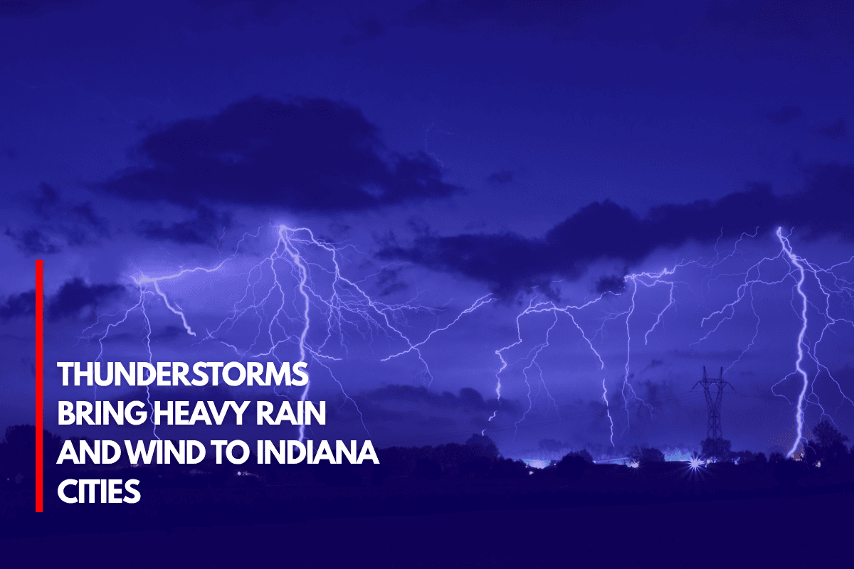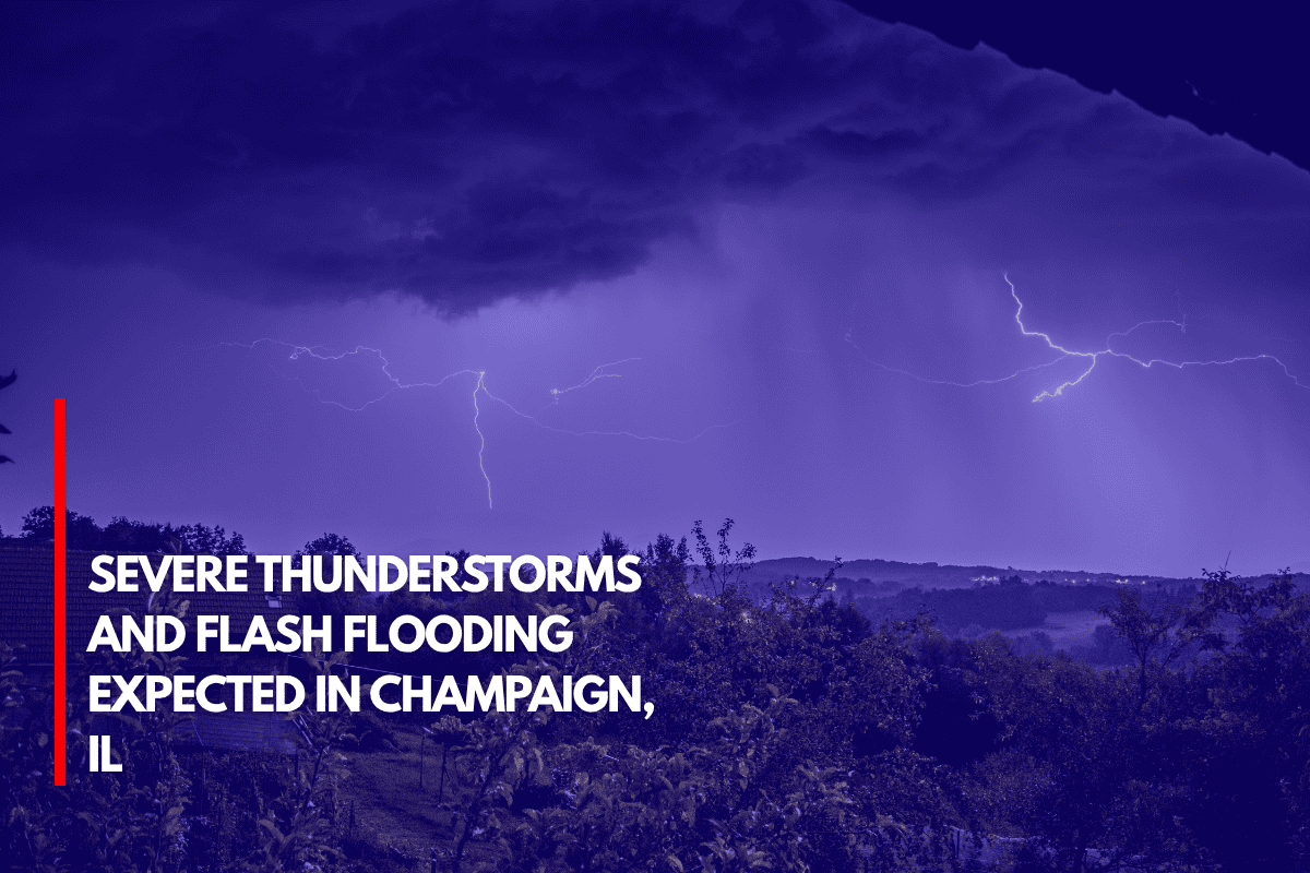
Champaign, IL, is facing heavy rain and the potential for severe thunderstorms today and tonight, bringing risks of flash flooding, damaging wind gusts, and isolated large hail.
According to the National Weather Service, these storms are expected to intensify during the afternoon and evening, making driving dangerous, particularly in urban areas.
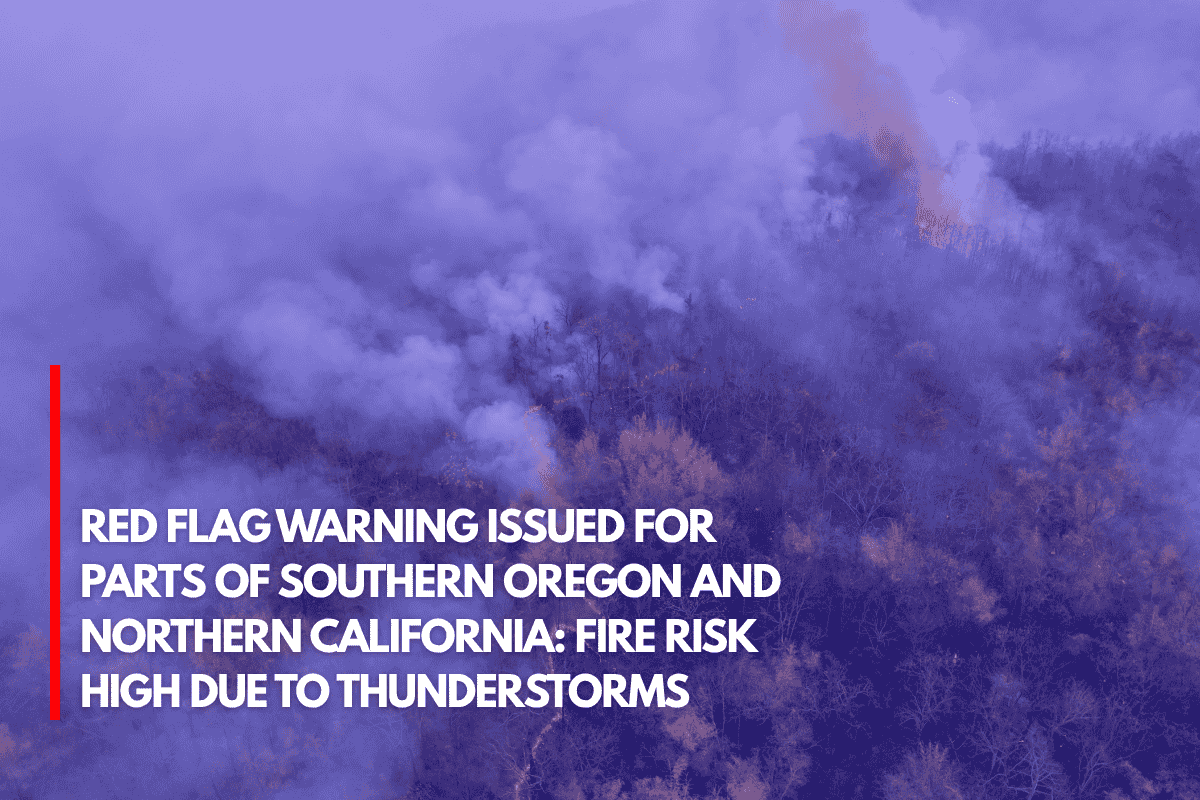
A flash flood watch has been issued, especially for areas where rainfall persists for extended periods.
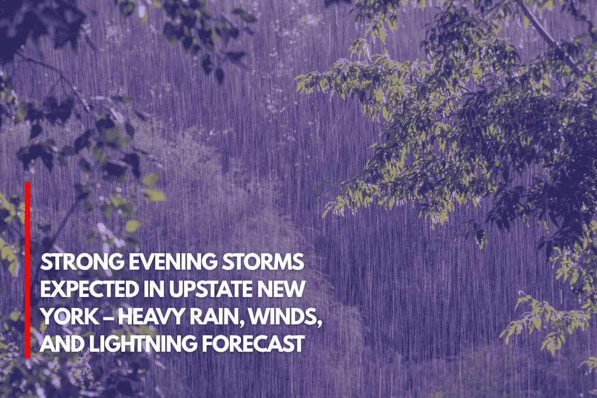
Rainfall is anticipated to range from 50-80% across the region, with temperatures climbing into the low 90s. Wind gusts could exceed 60 mph in the strongest storms, creating hazardous conditions.
Thunderstorm chances will drop by Monday, but the heat index is expected to climb between 105-115°F by Wednesday and Thursday, making it feel even hotter.
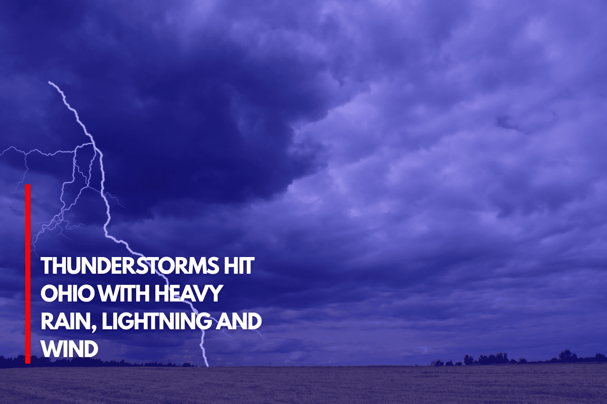
Residents are advised to stay indoors during storms, avoid flooded roads, and stay hydrated as the heat builds over the next few days. The risk of flash flooding will persist tonight, with thunderstorms continuing into Monday.
Five Day Forecast:
Today
: 84-92°F, 50-80% chance of thunderstorms, heavy rain
Tonight
: 68-74°F, 60-80% chance of thunderstorms
Monday
: 82-88°F, 40-60% chance of thunderstorms
Tuesday
: 86-91°F, 20% chance of thunderstorms, heat index 98-105°F
Wednesday
: 91-96°F, heat index 105-115°F, mostly sunny
Stay safe and stay updated on weather alerts as conditions may change.
Source