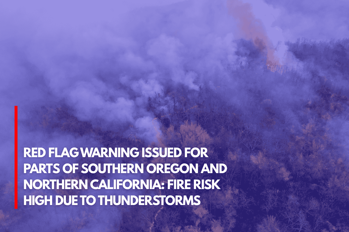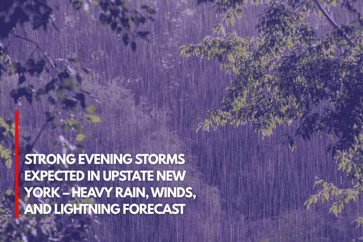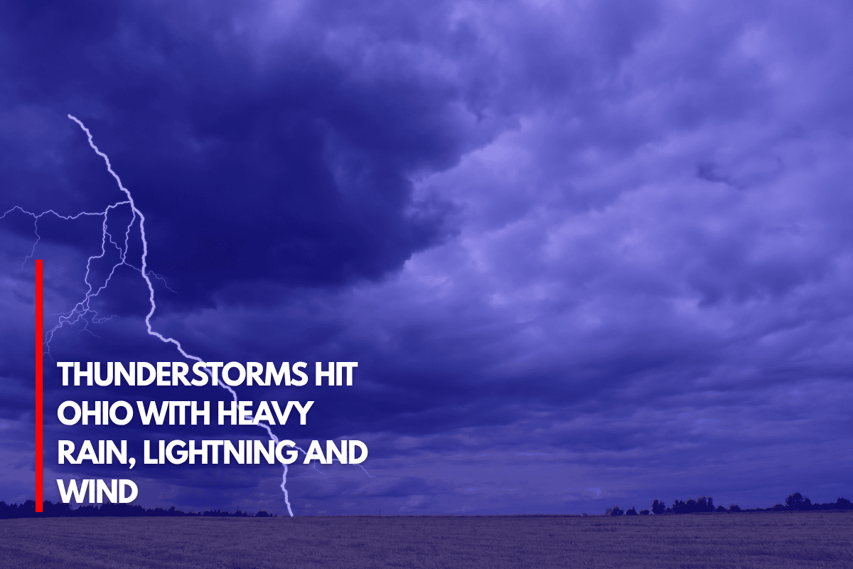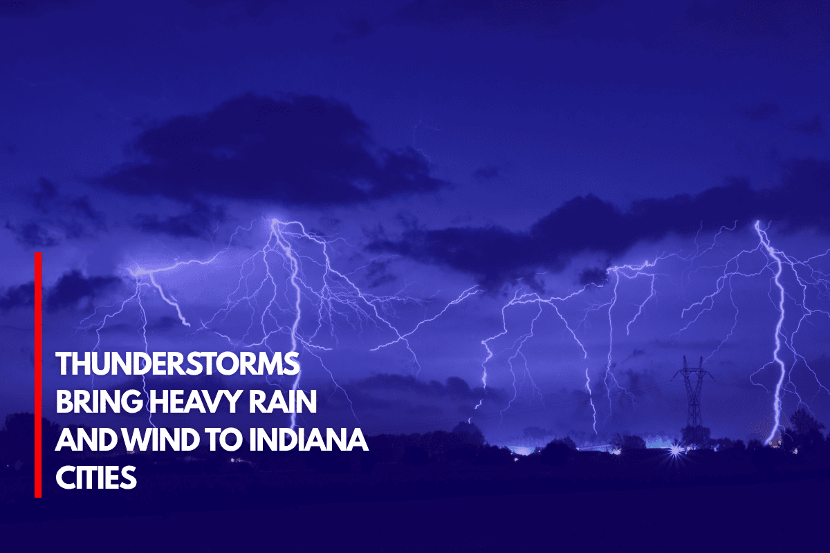
Indianapolis, IN Several areas of Indiana are experiencing severe winds, lightning, and rain as a result of the violent nighttime thunderstorms that are sweeping the state. The National Weather Service says the storms are moving in from the west and might last until midnight.
Cities That Will Be Affected
Cities like Evansville, Fort Wayne, Indianapolis, Bloomington, Lafayette, Muncie, and South Bend are probably going to experience thunderstorms. With wind speeds exceeding 40 mph and the possibility of tiny hail in some places, the worst circumstances might be found on the I-70 and I-69 freeways.
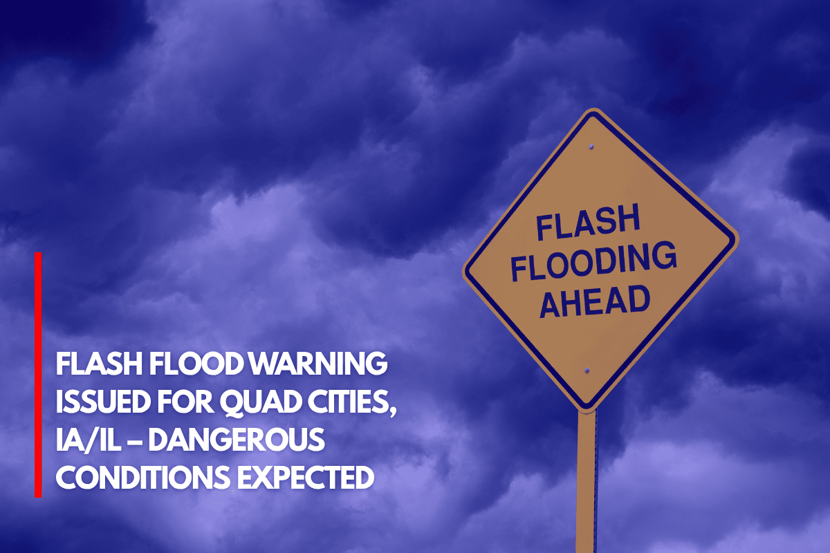
Stronger storms with the potential for hail and isolated flooding could affect areas close to Bloomington and Lafayette, particularly in low-lying areas where water can readily pool.
What to Watch Out For
Rain can result in decreased visibility and slick conditions, so drivers on highways like I-65 and I-69 should use caution. It is recommended that drivers steer clear of flooded roadways and travel gently.
In order to prevent them from blowing away, residents should also secure outside objects like umbrellas and garden furniture. In case the power goes out, it’s a good idea to charge your phone and other essential equipment.
Safety Advice from Officials
Everyone should be vigilant, check weather reports, and use radios or apps to get storm alerts, according to emergency officials. They advised having several ways to receive warnings and staying weather-aware at this time.
There may be some light rain into Saturday morning, but the biggest storms will probably pass around midnight. If conditions worsen, more weather advisories can be sent out.
Source