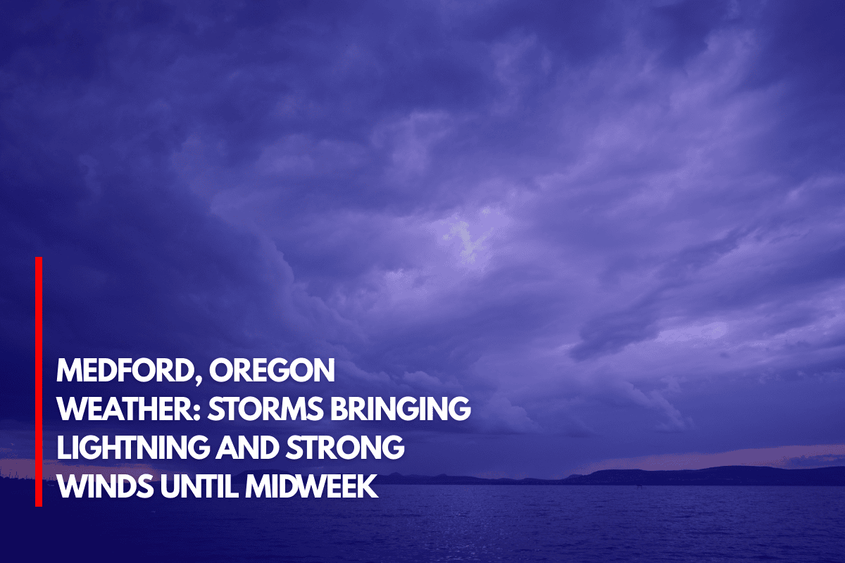
Medford, Oregon.Through Wednesday, daily thunderstorms are expected to persist in southern Oregon and far northern California, posing a risk of lightning, high winds, hail, and possible wildfire outbreaks.
Although there is a chance of storm activity overnight in places like Jackson, Josephine, and Siskiyou counties, these storms are predicted to be especially strong east of the Cascades.
What to Expect From the Storms
The Medford National Weather Service predicts that the thunderstorms will bring with them tiny hail, strong winds, and a lot of rain. Lightning strikes are predicted to occur frequently every afternoon and evening throughout the storms. New wildfires could be started by the most dangerous storms, particularly in the arid regions of southern Oregon.
Areas at Risk
Cities including Ashland, Klamath Falls, Medford, and Grants Pass should be ready for the weather to change quickly. Lightning strikes are more likely to occur in outdoor areas like alpine lakes and Crater Lake National Park.
During storms, residents are advised to stay away from exposed locations such as ridgelines, peaks, and wide open fields.
Travel Safety
Drivers on Interstate 5, Highway 62, and Highway 97 should exercise caution as unexpected rainstorms might impair visibility. When thunder is heard, authorities advise postponing outside activities and waiting 30 minutes after the final thunderclap before starting up again.
Thunderstorms Continue Through Wednesday
Through Wednesday, there is still a high risk of thunderstorms, and more weather watches and warnings could be issued, particularly if fire activity increases.
Source