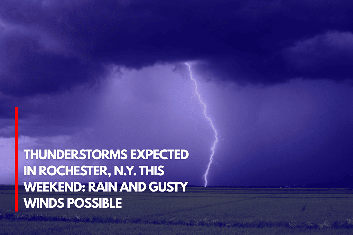
Idaho’s BoiseThere is a risk of localized flooding, particularly in regions that have recently seen fire damage, as a surge of monsoon moisture is predicted to bring more showers and thunderstorms to southwest Idaho and southeast Oregon this weekend through midweek.
Storms Begin This Weekend
The Boise National Weather Service predicts that this weekend will see the beginning of storm activity on the drier side, accompanied by blowing dust, strong outflow winds, and light rain.
A more humid atmosphere, however, will feed more powerful storms by early next week, resulting in moderate to heavy rainfall, frequent lightning, and an increased danger of localized floods.
Areas at Risk
Communities from Mountain Home, Twin Falls, and the Treasure Valley should brace for unexpected heavy rains, decreased road visibility, and the potential for short-term flooding.
As heavy rain develops, burn scar areas—such as parts of the Owyhee Mountains and central Idaho—are more vulnerable to flash flooding.
Travel and Safety Precautions
Particularly in the afternoon and evening, when storms are most likely to intensify, travelers should exercise caution. In order to receive timely alerts, emergency officials advise avoiding flooded roads and making sure devices are charged.
Extended Storm Outlook
Through the middle of the week, there is still a potential of storms, and if the rate of rainfall increases, further weather advisories may be issued.
Source