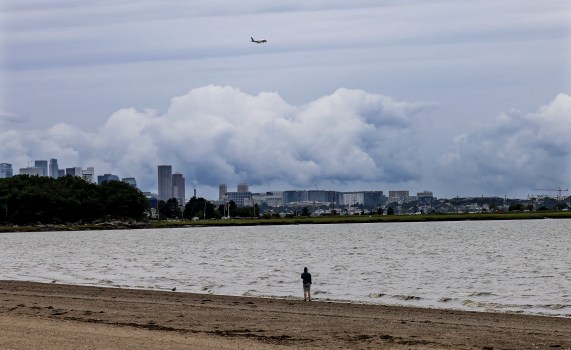
According to National Weather Service projections, the Boston area will have hot temperatures as the week begins, with intermittent possibilities of rain and storms as the days go.
NWS meteorologist Matthew Belk predicted that the next few days would be quite hot. As we approach midweek, it will be a little cooler and trending.
As temperatures continue to rise, Boston and a large portion of central and eastern Massachusetts will stay under a heat advisory until Monday. Monday is expected to see a high in the mid-90s and a low in the mid-70s in the Boston region.
According to the NWS statement, if precautions are not taken, extreme temperatures and heavy humidity could have negative health effects. The heat index could reach 96 degrees over the regions.
According to Belk, the most important thing is to minimize your outside exertion. If at all possible, pay attention to your body’s needs and drink lots of water—preferably without alcohol or caffeine, as those things will actually lead you to get dehydrated.
NWS predicts that temperatures will drop to a high in the upper 80s by Tuesday.
According to Belk, there is a very slim likelihood of any precipitation on Monday. The likelihood of showers and thunderstorms returning is actually more likely to occur on Tuesday.
According to Belk, the likelihood of rain and storms is expected to persist intermittently till the end of the week. The meteorologist went on to warn that Tuesday is the day with the highest chance of showers and thunderstorms, though it’s still too early to predict whether they will be severe.
However, Belk stated that there is always a chance of a stray severe storm or two if we get more humid. However, as of right now, there don’t appear to be any severe thunderstorms that are particularly prevalent in the Boston region.
In addition to cloudy skies and rainy conditions, NWS predicts patchy fog before 7 a.m. on Tuesday.
Forecasts indicate that Wednesday’s sky will stay gloomy, with a minor risk of precipitation throughout the day. It is predicted that the high will return to the low 80s.
Related Articles
-
Massachusetts declares Hurricane Preparedness Week
-
Furchtgott-Roth & Ryan Strasser: Weather & the climate narrative
-
Red rainbow weather phenomenon spotted in Massachusetts
-
Fourth of July expected to be sunny, pretty comfortable day in Massachusetts
-
Rising summer heat increases risk of child deaths in hot cars
According to Belk, it won’t be until Wednesday or Thursday that temperatures will likely drop below average once more due to an east or northeast breeze from the ocean. And that will go on through Friday and at least the first part of the following weekend.
Forecasts predict cloudy skies, highs in the upper 70s, and lows in the mid-60s for Thursday, Friday, and into the weekend. NWS says there is a low likelihood of precipitation until Friday night.


