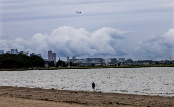
Far out at sea, the strong Hurricane Erin is warning local beachgoers of heavy surf and dangerous rip currents along the Massachusetts coast.
A forecast warning for rip currents, which can drag swimmers away from the coast and into deep water, has been issued by the National Weather Service’s Boston office.
Governor Maura Healey said in a statement, “We anticipate some effects from the storm passing offshore, so I want to encourage everyone on our coasts to stay safe and alert.” High waves and rip currents pose a major risk to swimmers. As the storm moves across our area, please use caution and watch for neighbors who may want assistance.
According to the National Weather Service’s surf zone forecast, a large number of the state’s beaches are classified as High Risk.
Advisories for high surf are in force through Friday and may last into the weekend.
A beach with two red flags has been declared unsafe for swimming.
Shore-based fishermen are being warned by the Division of Marine Fisheries to be on the lookout for strong surf conditions, which can render certain sites unsuitable for fishing.
Before setting off, sailors should also check the National Weather Service advisories and marine predictions for the Boston region.
Related Articles
-
Hurricane Erin far off Massachusetts will still spark life-threatening swimming and surfing conditions
-
Massachusetts declares Hurricane Preparedness Week
Advisories for dangerous marine conditions on coastal waterways have also been issued by the National Weather Service’s Boston office.
From Thursday morning until late Friday evening, a gale watch will be in force. Boaters should think about changing their plans in order to avoid poor visibility and potentially harmful winds.
Until Hurricane Erin weather patterns abate, this warning will remain in effect.
Visit weather.gov/box and follow @NWSBoston on social media for the most recent weather advisories.